The journey from Gangotri to Guptkashi is the longest and most pivotal driving day of the Char Dham Yatra. It demands an incredibly early start and utilizes the direct inner mountain route, traversing multiple river valleys to connect the second Dham (Gangotri, on the Bhagirathi River) to the base camp for the third Dham (Kedarnath, near the Mandakini River). This route, passing through Ghansali and Tilwara, is the true pilgrim’s path, cutting through the heart of the Garhwal Himalayas.
Route and Distance Essentials
This full-day drive links the two major administrative regions of Uttarkashi and Rudraprayag, defined by a significant descent followed by a traverse of high mountain passes and lower river valleys.
- Average Distance: Approximately 290 to 320 kilometers (180 to 200 miles). The distance is highly variable based on current road conditions and any minor detours due to weather.
- Time Required: A challenging 9 to 11 hours of continuous driving, excluding mandatory stops. This segment requires the most focused and cautious driving of the entire yatra.
- Significance: It efficiently links the two major river systems, allowing pilgrims to transition quickly from the area of Goddess Ganga to the region of Lord Shiva, saving valuable time compared to traveling via Rishikesh and Srinagar.

The Primary Road Corridor: The Ghansali-Tilwara Link
This route is characterized by its dramatic descent, deep penetration into the mountain interior, and eventual joining of the Mandakini Valley.
| Segment | Route Details | Distance (Approx.) | Key Junction/Experience |
| Gangotri to Uttarkashi | NH 34 | 105Km | Initial major descent, following the Bhagirathi River downstream. |
| Uttarkashi to Lambgaon | State/District Roads | 50Km | Departure from the main highway; heading into the mountain interior. |
| Lambgaon to Ghansali | State/District Roads | 45Km | Winding road through remote villages and forests. |
| Ghansali to Tilwara | State/District Roads | 50Km | Road along the Bal Ganga River and then traversing to the Mandakini region. |
| Tilwara to Agastyamuni | NH 107 | 25Km | Joining the main Kedarnath Highway (NH 107) along the Mandakini River. |
| Agastyamuni to Guptkashi | NH 107 | 25Km | Final ascent along the Mandakini Valley. |
| Total Travel Time | Approx300Km | 9 to 11 hours |
Route Highlights and Experience:
- The Great Descent: The first major phase is the long descent from the high altitude of Gangotri back to Uttarkashi, tracing the path you initially took.
- The Cut-Across (Lambgaon – Ghansali – Tilwara): This is the unique, most challenging, and most authentic part of the route. Instead of following the main highway (NH 34) all the way to Tehri and Srinagar, the path branches off into smaller, quieter mountain roads after Uttarkashi.
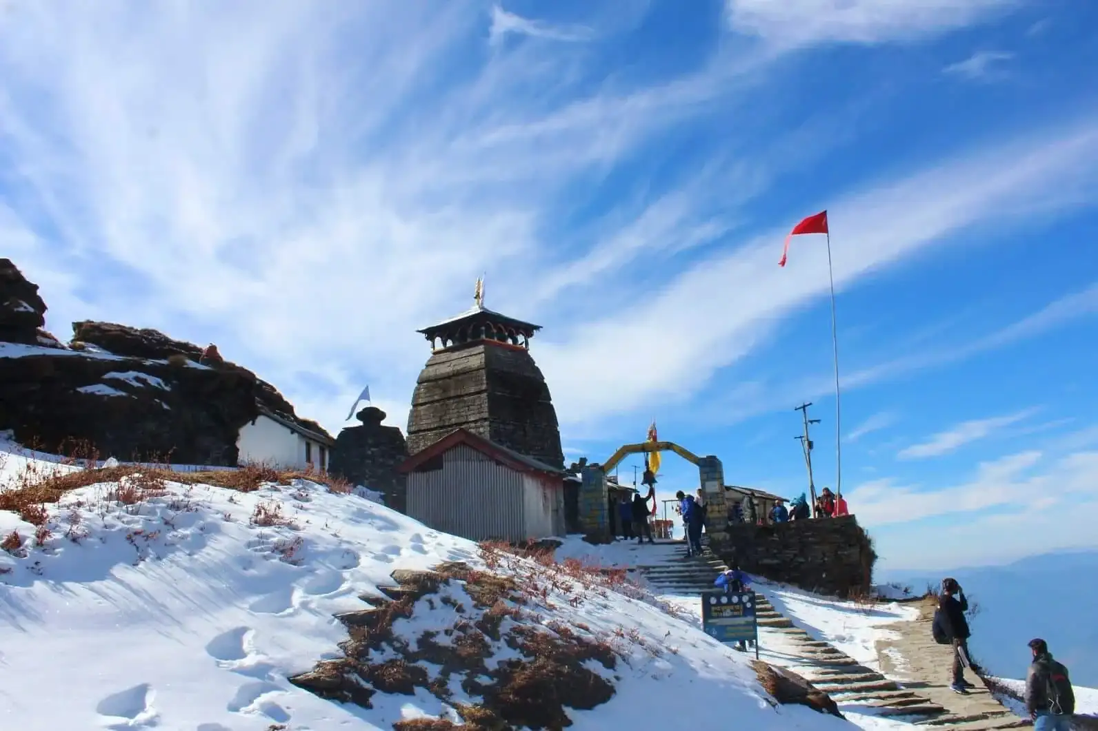
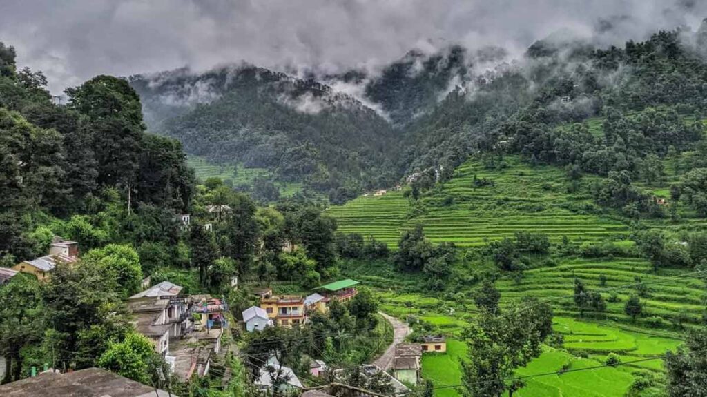
- Ghansali is situated near the confluence of the Bal Ganga and Bhilangana rivers. This region offers stunning views of the pristine mountain interior.
- The roads here are generally single-lane, rougher than the main highways, and pass through deep forests and small, genuine Garhwali settlements, providing a unique cultural glimpse.
- Tilwara Junction: Tilwara is the key point where the mountain road emerges and connects with the main National Highway 107, which runs through the Mandakini Valley.
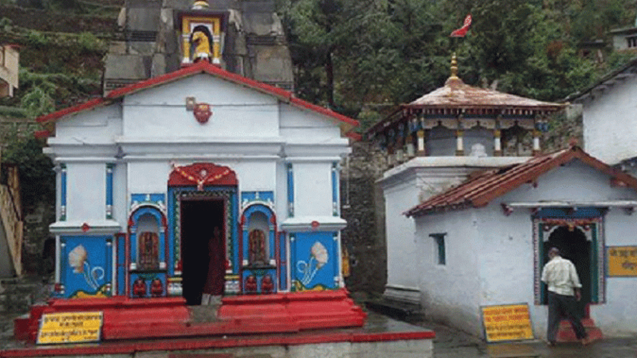
- Agastyamuni: Named after the revered sage Agastya, this town is a significant stop on the Mandakini riverbank and a welcome sight as it confirms the final stretch to Guptkashi.
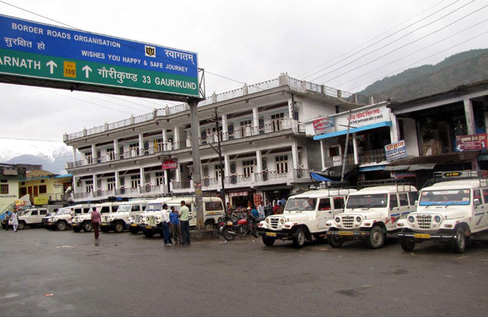
- Guptkashi Arrival: The journey ends with a final, short ascent into Guptkashi, the gateway town located on a ridge overlooking the Mandakini valley, marking the completion of the arduous traverse.
Essential Travel Logistics
- Early Start is Non-Negotiable: To complete this journey safely in daylight, a departure from Gangotri no later than 5:30 AM is mandatory.
- Driver Expertise: A professional driver with intimate knowledge of the local, non-NH roads (especially the Ghansali section) is absolutely crucial.
- Fuel and Food: Uttarkashi is the last major town with reliable infrastructure. Refuel here. Facilities are sparse between Uttarkashi and Tilwara, so carry packed water and dry snacks.
- Road Safety: The interior roads can be narrow, subject to slips, and require immense patience due to blind curves. Maintain safe distances and respect mountain driving ethics.
- Guptkashi: Guptkashi offers essential lodging and services needed to prepare for the trek or helicopter ride to Kedarnath the following day.
Frequently Asked Questions (FAQ’s)
What is the distance from Gangotri to Guptkashi?
The distance from Gangotri to Guptkashi is approximately 290 to 310 kilometers, taking around 10 to 12 hours by road through scenic mountain routes.
How can I reach Guptkashi from Gangotri?
You can travel by road via Uttarkashi, Tehri, and Rudraprayag. Taxis, jeeps, and private cars are available for the long but beautiful journey.
What is the best route from Gangotri to Guptkashi?
The recommended route is:
Gangotri → Uttarkashi → Tehri → Srinagar → Rudraprayag → Guptkashi — this route is well-connected and offers stunning valley views.
Are there buses available from Gangotri to Guptkashi?
There are no direct buses, but you can take a bus from Gangotri to Uttarkashi, then connect to Rudraprayag or Guptkashi via shared taxis or private vehicles.
Why is Guptkashi an important stop in the Char Dham Yatra?
Guptkashi is a key stop before visiting Kedarnath Dham. It is known for the Vishwanath Temple and is a popular night halt for pilgrims heading to Kedarnath.